 We want you to explore your watersheds! And using maps is a powerful tool to begin to understand how various water resource topics relate to each other.
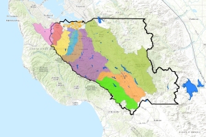
The One Water Plan webpage allows you to use our map interface to turn data layers on and off and zoom in and out. And you can now enter your input from the comfort of your own home via the web form on the “Map Your Concerns” tab. We’ll collect this input and add it to the One Water Community Input layer, allowing users to see where their community is identifying challenges and opportunities across the watershed and allow the water district to consider your input for future planning.
The update is live. So give it a try by clicking here!
